FAQs
We hope the answers to the FAQs will help you plan a successful and fun experience on the trail.
If your question is not answered, please feel free to contact us.
Where may I access the
Great Shasta Rail Trail (GSRT)?
There are multiple access points from the McCloud side and one from Burney. See our Trail Map to locate trailheads. Also see the map with trailheads marked on Google maps, as well as narrative directions on the same page.
What type of trail will cyclists, hikers and horses be on?
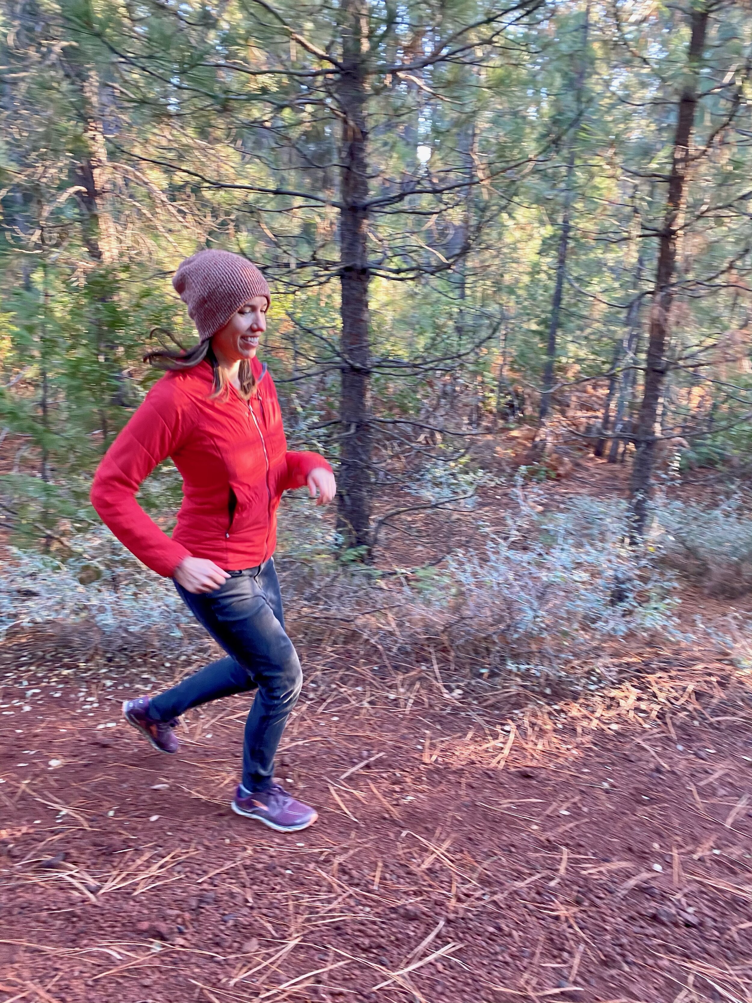
Generally there are two compressed tracks of red cinder; the sides and center of the trail tend to be loose cinder. On some trail sections the compression is solid, making for a relatively smooth, efficient ride, hike, etc. On other sections, the compression is not as tightly packed, so cyclists and hikers will find the going a little tougher, but manageable. Cyclists should note that mountain bikes with wide tires are best; road or bike of any kind with narrow tires are not recommended. All trail users should be extra observant for ruts, occasional holes dug by animals and debris left behind by the railroad. GSRTA endeavors to maintain the trail in the best possible condition for all allowed uses. We always appreciate knowing if there is a problem of any kind on the trail.
What is the status of trailheads, services and parking?
Several trailheads will soon have signs. Opened trail sections will not all have signs (vandals take them, some have not yet been installed). Currently, there are no services on the GSRT. We do expect to provide an increasing level of services (e.g., water, restrooms, parking, etc.) as trailheads are established.
As the Boy Scout motto states, “be prepared.” The experienced trail user always has sufficient water, nutrition, supplies, etc. appropriate to their intended uses, effort and distance. During hot weather bring extra water.
Tell a friend or family member the location, distance, departure and return date of your trail adventure. Long trail sections are remote and not patrolled.
Parking at the Burney trailhead is available in the large lot between the fenced building and the two power poles along Black Ranch Road. At Sierra access, no parking locations are established but main trail access is via two-tenths of a mile on the dirt road east of the paved road.
There is dedicated parking only at Burney trailhead. At other trailheads, please plan to park beside the road (not the trail) adjacent to your intended GSRT entry point. Lock your car and do not leave valuables.
What local services (hotels, restaurants, etc.) exist at the McCloud and Burney ends of the GSRT?
A restaurant and limited lodging at Bartle is the only service between McCloud and Burney. Retail establishments in McCloud and Burney offer multiple services. For additional information:
What is the time frame for opening the remaining sections?
GSRTA hopes to open the entire trail within 10 years. Engineers have studied the trail infrastructure (bridges and culverts) and their report will guide the GSRTA Board of Directors in the development of a repair and restoration priority list and timeline. This, in turn, will help guide a fundraising campaign. Trail sections will be opened as repairs are completed. As sections open, they will be announced on our website, in newsletters, on Facebook, and in local and regional media. Please refer to the five-year Trail Concept Plan for more info. Please note: Because of high cost, GSRTA does not believe the Lake Britton Trestle and the Highway 89 Lake Overpass will be rehabilitated within the five-year window mentioned in our Trail Concept Plan.
What types of uses are permitted on the GSRT?
The guiding principle for permitted and un-permitted use is straightforward: GSRT is for non-motorized use only. Thus, cycling, walking, hiking, horseback riding, Nordic (cross country) skiing, and snowshoeing are all permitted. These uses allow for year-round adventure. Anything with a motor is not permitted. The exception to the prohibition to motorize use is the use of a battery-powered device that is designed solely for use by a mobility-impaired person for locomotion and is suitable for use in an indoor pedestrian area.
Please note: there are no equestrian services (e.g., water) available on the GSRT at this time.
How do I support the development of the GSRT?
The board’s vision is for the trail to be one of Rails-to-Trails Conservancy Top 10 trails. You can help us achieve that goal by becoming a financial donor and / or volunteer with the GSRTA. All forms of support are welcome. A critical need is money to fix bridges (and consequently, opening up more trail miles). If you are interested, please donate. Thank you.
Beyond funding support, how can I help?
Beyond funding, we need physical support to maintain, open and clear unopened trail sections. This includes clearing culverts, brushing trails, and dealing with any number of problems that emerge (e.g., fallen trees, holes in the trail, etc.). We are looking for volunteers.